Navigation
Cliffs
Map symbol for cliffs: brown lines drawn close together. The closer the lines, the steeper it is. But cliffs under 20 m can be hidden on a topographic hiking map with a 20 m contour interval.
Brown lines drawn close together mark cliffs. The closer the lines, the steeper it is.
At Kjerag it drops sheer 1,000 metres straight down. To get up here from Geitanes, you have to climb. Map: screenshot from norgeskart.no.
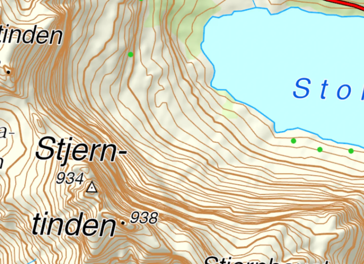
Another example: the north-east side of Stjerntinden has a sheer mountainside that shows up clearly as closely spaced brown lines on the map.
More map symbols
Contour lines · Peak · Ridge · Gully, pass, stream valley · Valley