Navigation
Valley
Map symbol for a valley: flat in the middle (few contour lines) and steep on both sides. A classic U-shaped cross-section from a glacier-formed valley.
A valley is recognised on the map by being flat (few contour lines) in the middle and steep on both sides. This shows a typical U-shaped valley formed by the glacier — the classic Norwegian mountain valley.
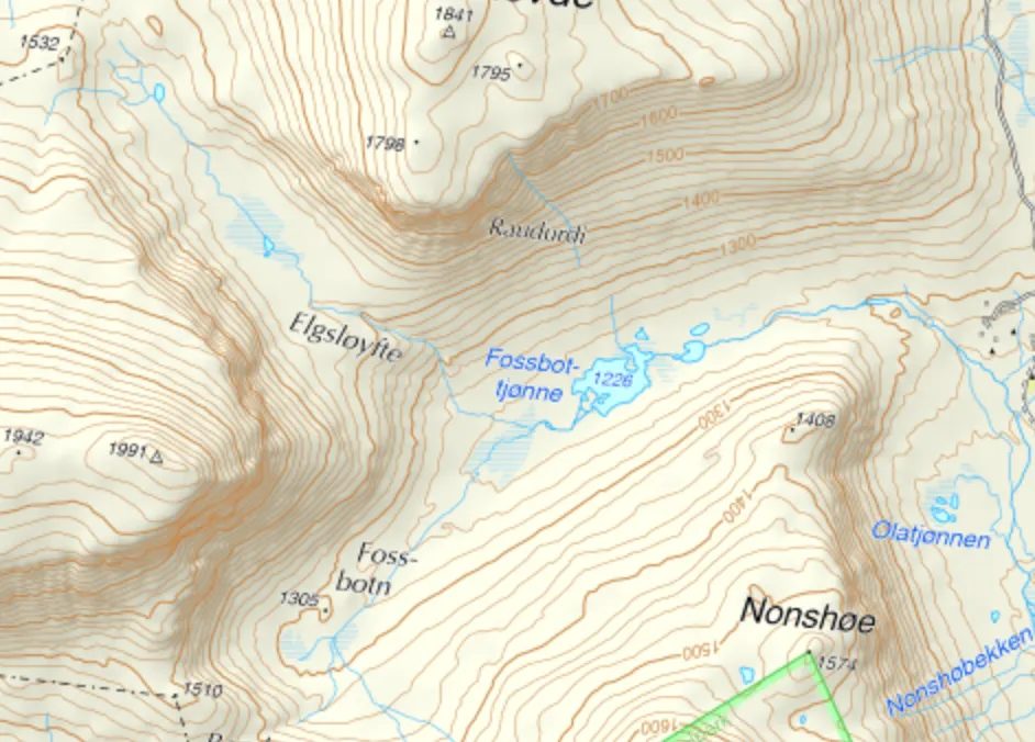
A typical valley, flat in the middle with steep sides. Map: screenshot from norgeskart.no.
On maps with higher resolution you can also see the difference between a main valley and a side valley that opens into it.
More map symbols
Gorge, gap, stream valley · Ridge · Summit · Contour lines · Stream and river