Navigation
Summit
Map symbol for a summit: a black dot with the elevation in metres beside it, or a triangle with a white fill for a triangulation point used in land surveying.
A summit is marked with a black dot and black numbers showing the elevation. On larger mountains the summit is also marked with the name in black.
Summits can also be marked with a black triangle with a white fill. This means that the summit is a triangulation point used in land surveying.
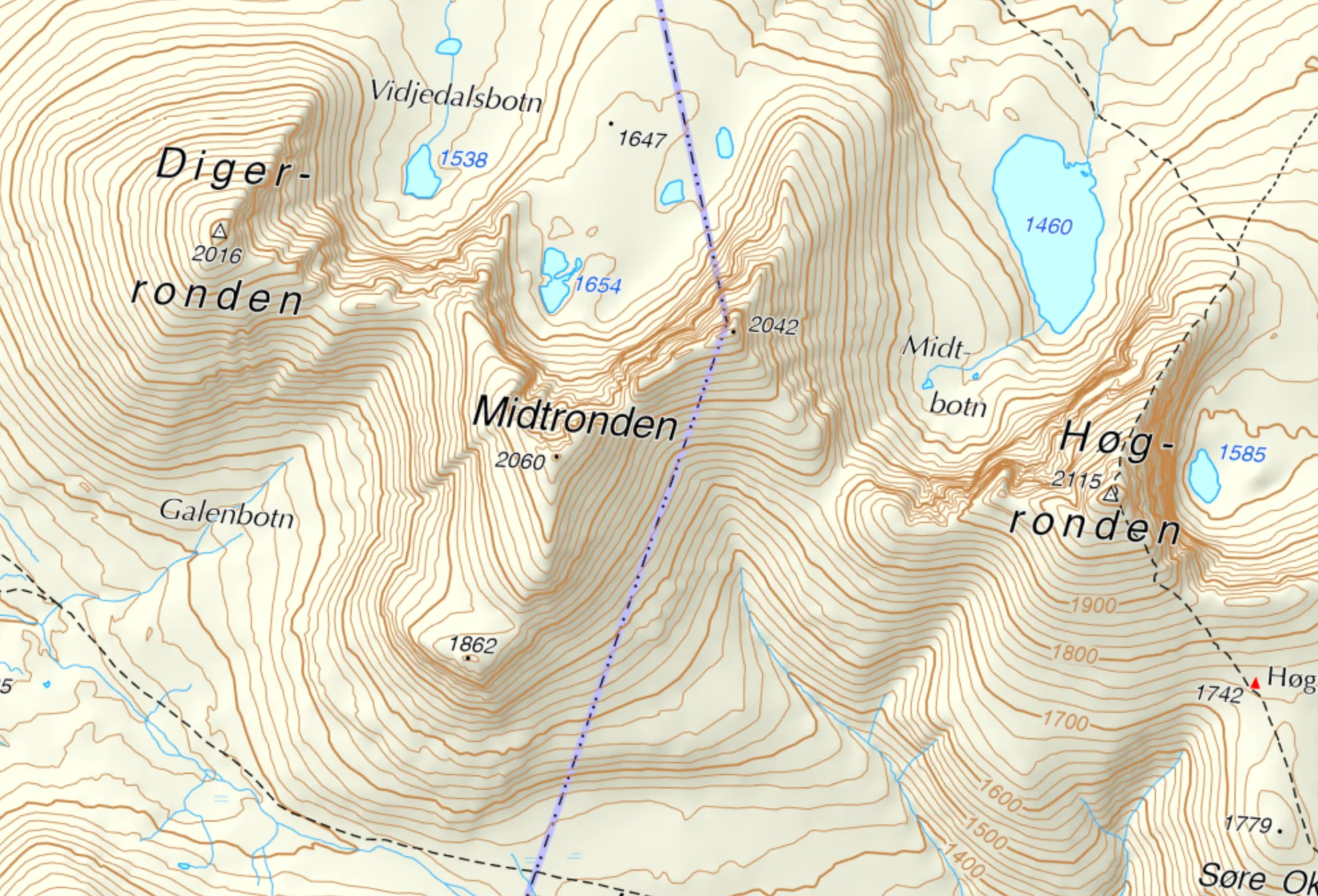
A summit marked with a triangle. Map: screenshot from norgeskart.no.
In Rondane, both Digerronden and Høgronden are triangulation points used in land surveying. Midtronden is an “ordinary” summit marked with a black dot.
More map symbols
Contour lines · Ridge · Cliff · Valley · Gorge, gap, stream valley