Navigation
Contour lines
The map symbol for contour lines: brown lines that show whether the terrain rises or falls. On hiking maps a 20 m contour interval is common, and every 100 metres of height is marked with a thicker line.
The brown lines on the map are contour lines. They tell you whether the terrain rises or falls. The number of metres of height between the lines varies from map to map. On hiking maps a 20-metre contour interval is common. The contour interval is the gap between the brown lines.
Every hundred metres of height is marked with a brown line that is slightly thicker than the others.
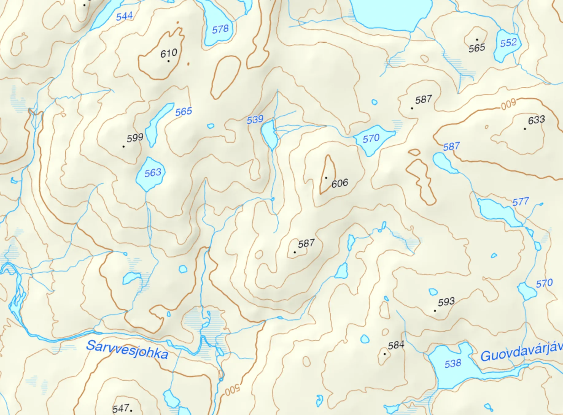
Here the hundred-metre contours are marked with their height. Map: screenshot from norgeskart.no.
Gently undulating terrain — undulating terrain means there are a fair number of uphills and downhills, and you can see it on the map from the contour lines lying close together in wave patterns.
More about contour interval and scale →
More map symbols
Summit · Ridge · Cliff · Valley · Gorge, mountain pass, stream valley