Gear
Mobile phone on the trip
The phone is navigation, communication and camera in one — but it is vulnerable to cold, damp and coverage. Here is how to make it last the whole trip.
The mobile phone has replaced many separate pieces of trip kit — camera, GPS, watch, compass (with limitations), map app, torch backup, communication. But it is still a vulnerable device in a trip context, and needs a little adapting to work well.
Cold tolerance
The Li-ion battery in the phone loses capacity in the cold:
- 0 °C: ~20 % reduced
- −10 °C: ~30–40 % reduced
- −20 °C: up to 50 % reduced, and the phone may switch itself off spontaneously
Strategy:
- Keep the phone in an inner pocket against body heat on a winter trip
- Switch it off when not in use — saves a lot of battery
- Do not take photos with a cold phone — being exposed outside cools it quickly
- Charge inside the sleeping bag at night — the phone stays warm and charges efficiently
Apps for the trip
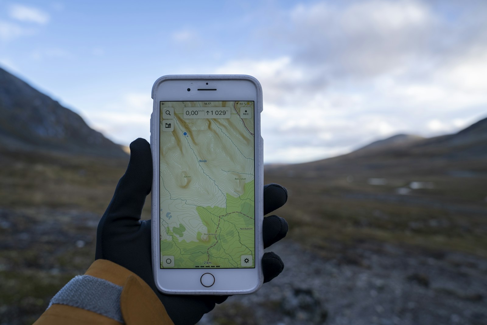
Norgeskart app (Kartverket) — free, can download offline maps, covers all the Norwegian 1:50,000 sheets.
UT.no app — DNT’s official one, showing cabins, routes and trail markings.
Yr app (Yr.no) — weather forecasts for specific coordinates.
Varsom app (Norges Vassdrags- og Energidirektorat) — avalanche warnings and flood information.
Outdooractive, Komoot, ViewRanger — international map and route apps, more detailed but often with a subscription.
For a Norwegian mountain trip, Norgeskart + Yr + Varsom + UT.no is the standard set — all free and covering most of what you need.
Offline use
Download maps at home before the trip, not on the mountain. Many apps let you download specific areas for offline use:
- Norgeskart: a button in each map view
- UT.no: in the cabin/route details
- Komoot, Outdooractive: in the app settings
Check that it works offline before you set out — switch flight mode on, and check whether maps, routes and information are available.
Coverage in Norway
Norwegian mobile networks cover large parts of the country, but have gaps:
- Hardangervidda, Sognefjellet, Saltfjellet: mainly covered, but gaps in the valleys
- Inner Finnmark: large parts uncovered
- Lofoten, Senja, Vesterålen: coastal coverage ok, mountain areas vary
- Norgesmarka, Svalbard: mainly uncovered outside the central areas
Check the coverage map at Telenor, Telia or ICE before the trip. On trips in poorly covered areas, consider satellite communication (Garmin inReach, Spot, ZOLEO) as a backup.
Water resistance
Modern phones have IP67 or IP68 certification — they withstand rain and shorter immersion. Even so:
- Water + time + dust = problems over the years. Protect with a case or pouch for long-term use.
- Salt water corrodes faster than fresh water. Rinse with fresh water after sea exposure.
- Water resistance fades over time — rubber seals wear, the certification is the as-new condition.
For a paddling trip or wet climate — consider a waterproof pouch (Aquapac, Sea to Summit, Loksak) for extra security.
Packing
Inner pocket in the cold, check the PIN code and battery regularly. Side pocket on the pack in summer.
Not in an outer-trouser pocket in the rain — a wet phone is often a wet phone.
Maintenance
Keep it clean. Wipe it dry after use in damp. Charge every evening or every morning — do not let it run flat (Li-ion does not like being empty for a longer time).
Secure an iCloud / Google backup before a longer trip — if the phone is lost, you still have photos, contacts and coordinates.
Text: Snuitide (2026).