Gear
Maps
The 1:50 000 hiking map (turkart) from Kartverket is the standard for Norwegian friluftsliv. Here is how to read the map code, what the different map series cover, and why a paper map still belongs in your pack.
A turkart is a precise 2D representation of the terrain with contour lines, trail symbols and place names — still the most reliable tool for keeping track of where you are in the mountains. Phone apps and GPS are good as a supplement, but when the cold kills the battery or you lose signal, the paper map is the one that works.
For using the map — map reading, understanding contours, fixing your position — see the orientering category. This article is about the map itself as an object.
Kartverket’s series
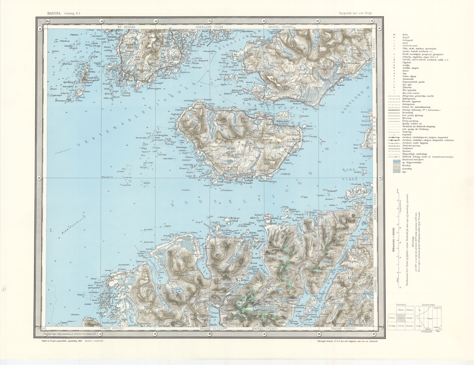
Norge 1:50 000 (the M711 series) is the main series for friluftsliv. 720 sheets cover the whole country. Each sheet covers about 30×40 km. Price: ~150–200 kr per sheet. Bought directly from Kartverket, from Outnorth, from Adventure Sports, or from local outdoor shops.
Norge 1:25 000 (the Topo 25 series) is more detailed and is used mostly for orienteering races and technical mountain trips. Fewer sheets cover only popular areas.
Turkart 1:50 000 (a commercial series from publishers such as Nordeca, Calazo and others) is often based on Kartverket’s data, but with extra information: DNT-marked trails, cabin facilities, climbing routes, paddling routes. The price is a little higher than Kartverket’s, but more practical for specific trip use. These are the ones we recommend for most people.
UT.no and Norgeskart.no are digital alternatives that show the same base data — free to download as PDF for most areas.
Scale — what does it mean?
1:50 000 means that 1 cm on the map = 500 m on the ground. A 30×40 cm map therefore covers 15×20 km of terrain.
1:25 000 = 1 cm = 250 m. More detailed, but covers a smaller area. Often used for orienteering or technical climbing.
1:100 000 = 1 cm = 1 km. An overview of a larger area, fewer details. Good for overview planning, less so for navigation.
For an ordinary Norwegian mountain trip, 1:50 000 is the standard. 1:25 000 is used when the terrain is complex or you are planning off-trail movement.
Contour interval and contour lines
On Norwegian 1:50 000 maps the contour interval is usually 20 metres — each brown line means a 20-metre difference in height. The index contour (a thicker brown line) is every 100 m.
On 1:25 000 the contour interval is often 5 or 10 metres — much finer terrain detail.
Learn to “read” contours so you can understand slope angle, spurs and bowl-shaped valleys. Tightly packed contours = steep; widely spaced contours = gentle.
What kind of map for what kind of trip
Day trip in your local area: often not necessary (you know the trails), but take it anyway.
Weekend trip in a familiar area: one map is enough if it covers the whole route.
Longer trip across several map sheets: take all the relevant ones. Mark the transition between them in advance.
Topptur (ski touring) or steep mountains: often 1:25 000 if it exists for the area, otherwise 1:50 000.
Winter or snow-covered terrain: the map becomes even more important when landmarks disappear under snow. Trail markings and small paths become invisible; only the main terrain remains.
Maintenance
Keep the map dry — fold it carefully along the existing creases and not new ones. Sports tape over worn creases extends its life. A map case protects it against rain and snow.
When an area gets a new road, cabin or other major changes, the map can become out of date — check the year of publication (typically every 5 to 10 years for the main series).
Map case → · Compass → · Orientering — the category →
Text: Snuitide (2026), based on Kartverket’s documentation.