Trip Planning
Digital tools for trip planning
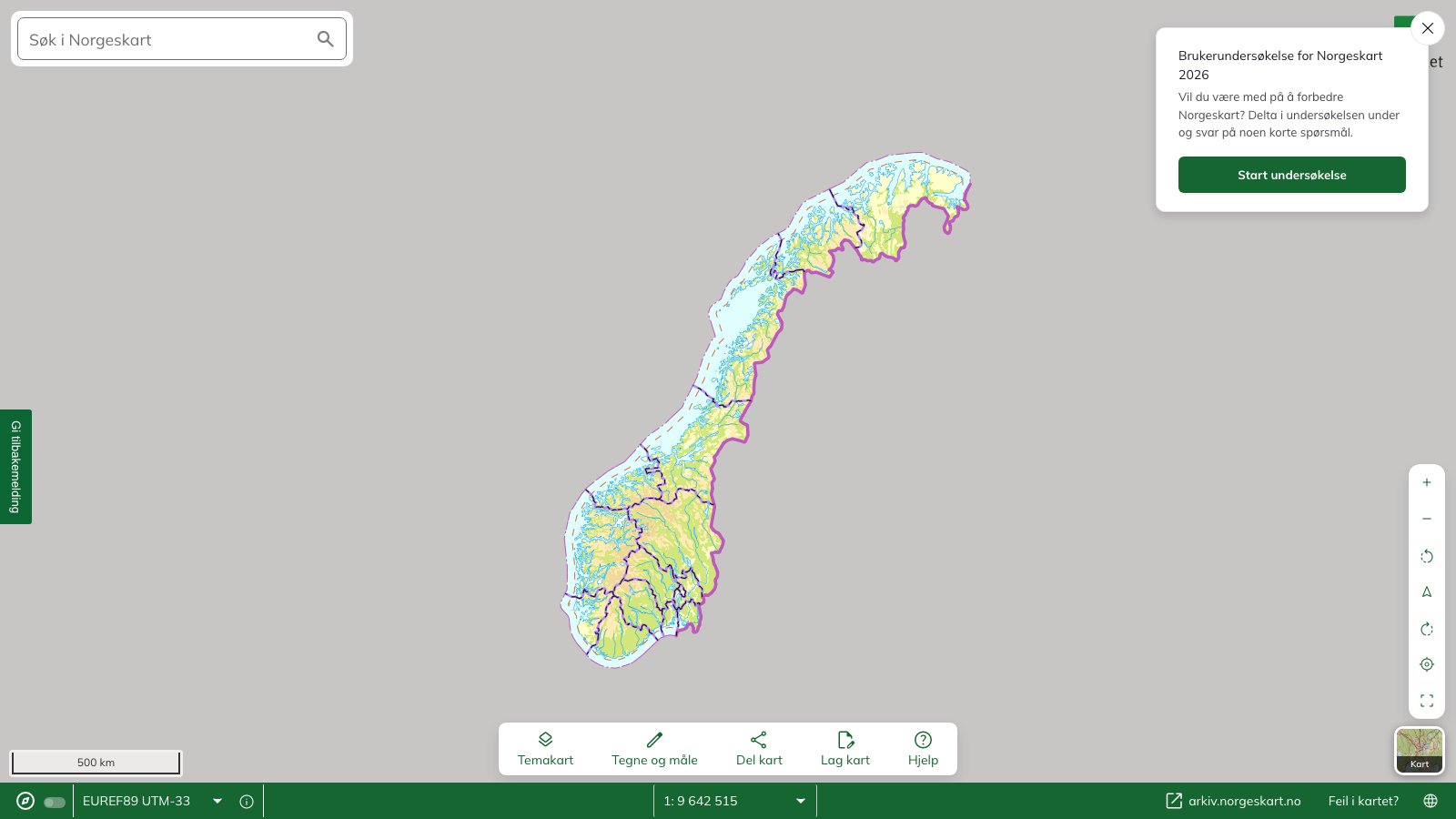
On Norgeskart.no, the Norwegian Mapping Authority has made maps of the whole of Norway freely available. We have gathered a few instructional videos that will make trip planning easier.
Contents
Apps for trip planning on your phone
Untitled
Norgeskart.no
On Norgeskart.no, the Norwegian Mapping Authority has made maps of the whole of Norway freely available. We have gathered a few instructional videos that will make trip planning easier.
Printing maps
Print your own trip map.
You can print maps online from norgeskart.no and kartmannen.no.
Norgeskart
The Norwegian Mapping Authority runs the site Norgeskart.no. Here you can draw your own routes on the map and have the routes you have drawn included on the printout. You can also save and share your routes with others. It is also possible to create an elevation profile for the route you are going to walk. You choose the scale you want for the map yourself.
To get UTM zones on the map, go to the menu and click on «Fastmerker» – «UTM-rutenett». This brings up both UTM zones and the UTM grid, and these also appear on the printout.
Kartmannen
On the pages of Kartmannen you can print maps with the UTM zone. You can choose the scale you want for the map yourself, along with information such as trails, slope steepness, avalanche run-out zones and weakened ice. You will also find nautical charts here.
The drawback of this site is that you cannot produce map sections where there is overlap between two UTM zones.
Kartmannen uses data from the Norwegian Mapping Authority.
Drawing in a route
How to draw a route into norgeskart.no
Creating an elevation profile
How to create an elevation profile.
Websites for trip planning
These websites can be of help in trip planning, both for pupils and teachers.
Maps and destinations
- Norgeskart
- Slope-steepness map
- Routes, trails, trip suggestions and DNT cabins
- Kart i skolen (has a measuring tool, county and municipal boundaries, as well as the UTM grid)
Trip tips
- Sov godt ute – tips for places to stay overnight
- Svippe – an overview of things to do outdoors in your local area (under development)
The pilot project is under way! - Svippe
-
Sources
Bjørklund, O. (2021, 19. mars). Video hvordan tegne rute inn på norgeskart no [Videoklipp] Hentet fra: https://www.youtube.com/watch?v=1fUK_wsA0U0
Statens kartverk (2016, 27. januar). Hvordan lage en høydeprofil. [Videoklipp] Hentet fra: https://www.youtube.com/watch?v=dv-zBLe9v-Y&list=PLD744F521FD0F5577&index=3
Statens kartverk (2021, 15. mars). Skrive ut ditt eget turkart [Videoklipp] Hentet fra: https://vimeo.com/523679584
Next steps
- Route choice and SARTto — route-choice principles
- Trip plan and risk assessment — the plan structure
- Orienteering — orienteering basics
- Trip planning — the hub
Learn more
- DNT — the fjellvettreglene — nine rules of thumb
- Varsom — hazard warnings for avalanches, floods and landslides
- UT.no — routes, cabins, warning data
- Yr.no — weather forecast