Navigation
Lakes
Map symbol for lakes: light-blue fill. The elevation is given in blue figures, the name in blue. Regulated lakes are a darker blue — watch out for unsafe ice in winter.
Lakes are always light blue on the map. A lake’s elevation is marked with blue figures. If the lake’s name is given, it is written in blue.
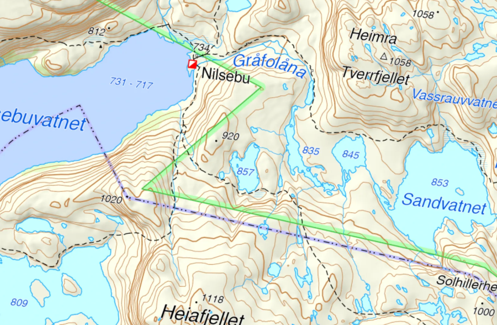
Mountain lake. Map: screenshot from norgeskart.no.
Regulated lakes
Dammed lakes are a darker blue. Regulated lakes also give the elevation for the lowest and highest regulated water level.
Pay particular attention to regulated lakes in winter — they can have unsafe ice. The water level changes when the power station draws down water, and this creates cracks, open channels and weak areas.
Example: Finsevannet is regulated and therefore shown as a darker blue on the map. On a hiking map (turkart) you can see regulated lakes high in the mountains alongside small lakes that are not regulated.
More map symbols
Stream and river · Sea · Dam and weir · Bog · Glacier and snowfield