Nature's weather signs
Expressions such as the calm before the storm and now all hell breaks loose both have their origins in the weather.
5 articles
‘There is no such thing as bad weather, only bad clothing’ is a pleasant claim as long as you are sitting indoors. In the mountains it is incomplete: bad weather is real, it calls for preparation, and it can become dangerous. The difference between being out in sunshine and being out in a sleet storm is not just the experience — it is your clothing, your route plan, and on some days whether the trip should go ahead at all.
Weather is the result of the atmosphere and the ocean evening out the difference in energy between the equator (a surplus) and the poles (a deficit). Low pressure and high pressure are how this evening-out shows itself, and their movements give us what we call weather systems.
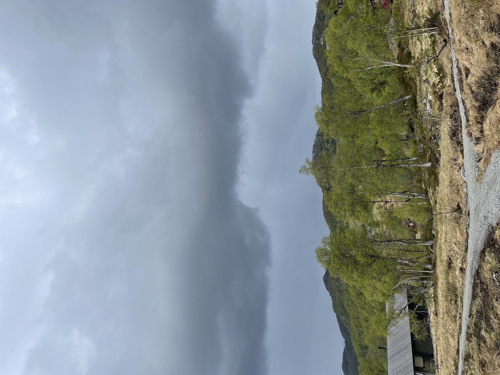
In Norway, lows pass from the west typically at intervals of 1-3 days, in both summer and winter. This is the dynamic we observe on the weather chart and that the meteorologists predict.
Modern weather forecasts are built from weather-station observations and numerical mathematical models that calculate how the weather will behave. The scale of reliability:
For trip planning, a 24-48 hour forecast is what can actually be used. Further ahead than that is only an estimate — check again before you set off.
More about weather forecasting →
For more precise assessments of the mountains and the fjord, the trip meteorologist (turmeteorologen) is available as a service from the Norwegian Meteorological Institute. They provide location-specific forecasts for named mountains and areas, often 24-48 hours ahead. It is much used by the ski-touring, paddling and mountaineering communities.
More about the trip meteorologist →
Long before the mobile phone and the Yr app, people read the weather in nature. Many of these weather signs (værtegn) still work as a 24-hour forecast:
Clouds
Wind
Pressure (if you have a barometer)
Sound and humidity
More about nature’s weather forecasts →
Wind is not just uncomfortable — it can be the most dangerous of the weather elements, because it dramatically changes the felt temperature and the physical strain:
| Wind speed | What you notice |
|---|---|
| 0-1 m/s (calm) | Still, settled conditions |
| 2-5 m/s (light breeze) | Sounds from leaves, slight cooling |
| 6-9 m/s (fresh breeze) | Your cap blows off, snow drift gathers |
| 10-13 m/s (moderate gale) | Heavier movement, snow smoke |
| 14-17 m/s (fresh gale) | Hard to walk into the wind, strong cooling |
| 18-23 m/s (strong gale) | A real headwind, risk of falling |
| 24+ m/s (storm) | Not suitable for a trip — seek shelter |
Wind chill makes it feel much colder than the thermometer shows:
For a trip in winter, the wind-chill table is central — it decides whether your clothing is sufficient.
More about wind and its effect →
For winter specifically: the avalanche forecast is a separate, specialist assessment — see the avalanche category and varsom.no.
Tekst: Snuitide (2022), bearbeidet 2026.
Sentrale ressurser: yr.no · Meteorologisk institutt · Storm.no · Varsom.no
Expressions such as the calm before the storm and now all hell breaks loose both have their origins in the weather.
As a trip leader, there is often a string of practical details to sort out before an outing, and the sooner you get an overview of the expected weather, or of the uncertainty around it, the better placed you will be to prepare the participants for what they will meet on the trip.
Specifications: - Know weather signs that have been used and are still used today.
The meteorologist's task, put simply, is first to work out what the weather is like now, in order to
The felt temperature, or wind chill index, is the temperature we would need in calm conditions to experience the same cold as under the existing wind and temperature conditions (the Norwegian Meteorological Institute, n.